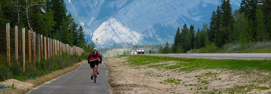
The Provincial Trail Map Project Steering Committee has completed the sixth in a series of 16 regional trail maps that, when complete, will cover the entire province. The map highlights approved motorized, non-motorized and mixed use trails in the region.
The Southern Plains Trail Map covers an area SE of Calgary framed by Hwy 1 on the north, the AB/SASK border on the east, the AB/USA border on the south, and Hwy 4 (Milk River to Lethbridge ) and Hwy 23 and 24 (Lethbridge to Strathmore) on the west.
Southern Plains Trail Map:


